The City’s Official Plan provides a foundation for infrastructure master plans. The following infrastructure master plans have been adopted by City Council and provide guidance on many infrastructure projects required for the successful intensification and development of land. The plans are reviewed as part of the asset management planning process.
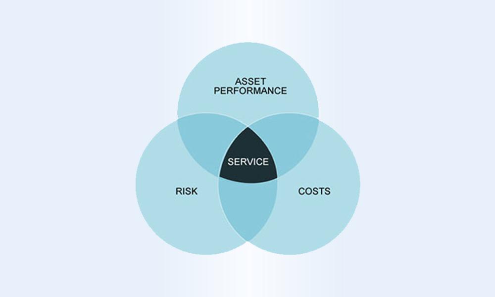
Infrastructure Master Plans
Image
Adopted or Last Updated: 2025
Focuses on nine City services areas and the assets that support them, and identifies the proposed levels of service for the City’s assets between 2025 and 2035.
Image

Adopted or Last Updated: 2019
The study area includes the entire City of Barrie excluding the Sophia Creek watershed, Mulcaster drainage area and Annexation Lands (which were studied under separate projects).
Image
Adopted or Last Updated: 2019
Serves as the City’s roadmap in developing a well-balanced transportation network to serve its future needs and development.
Image

Adopted or Last Updated: 2019
Identifies the preferred solution requirements to the year 2041 for collecting and conveying wastewater from homes and businesses to the wastewater treatment facility, with consideration and flexibility for ultimate build-out of Barrie.
Image

Adopted or Last Updated: 2019
Identifies the preferred solution requirements to the year 2041 for treating wastewater collected from homes and businesses before it is discharged to the environment.
Image
Adopted or Last Updated: 2019
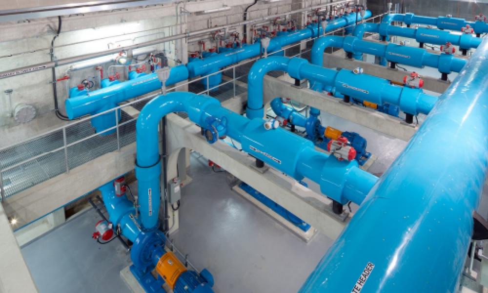
Identifies the preferred solution for delivering potable water to homes and businesses as well as for storing water to meet fluctuating demands throughout the day and to protect the City for fire and emergency purposes.
Image
Adopted or Last Updated: 2019
Identifies the preferred solution for delivering potable water to homes and businesses as well as for storing water to meet fluctuating demands throughout the day and to protect the City for fire and emergency purposes.
Master Plan Updates Underway
The following Master Plans are being updated through Municipal Class Environmental Assessment (EA) Studies.
Estimated Completion: 2027
Update of the 2019 Transportation Master Plan to accommodate the projected population and employment growth to the year 2051 and beyond.

Estimated Completion: 2027
Update of the 2019 Water Supply Master Plan and the 2019 Water Storage & Distribution Master Plan to accommodate the projected population and employment growth to the year 2051 and beyond.

Estimated Completion: 2027
Update of the 2019 Wastewater Treatment Master Plan and the 2019 Wastewater Collection Master Plan to accommodate the projected population and employment growth to the year 2051 and beyond.