The work of the City's Corporate Asset Management, Development Services, and Infrastructure departments each impact various design and construction projects across Barrie. Corporate Facilities' planning and development staff oversee facility projects that support select City services.
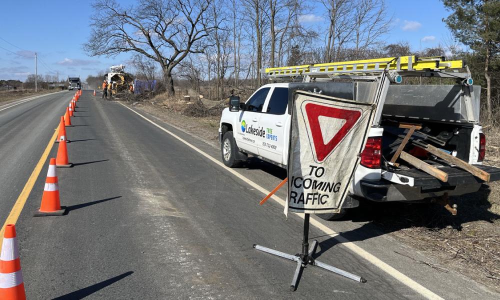
Construction projects may require road closures.
Generally speaking, infrastructure projects are informed by a master plan or planning process, and project cycles may include environmental assessment studies, detailed design, then construction. Projects are ordered below as per the latest update.

Type: Roads; Underground Infrastructure
Status: In Progress
Estimated Completion: November 2025
The annual program includes installing new watermains and lining existing watermains.

Type: Other
Status: In Progress
Estimated Completion: 2026
Upgrade of select parking pay station devices throughout Barrie to meet Payment Card Industry (PCI) security standards.

Type: Roads; Underground Infrastructure
Status: In Progress
Estimated Completion: 2029
Relining watermain, storm sewers and sanitary sewers along Queen Street (Berczy to St. Vincent), including road resurfacing and concrete curb replacement.

Type: Roads
Status: In Progress
Estimated Completion: 2025
The annual Pavement Management Program uses different treatments to extend a road's service life by resurfacing or replacing the road.

Type: Parks & Forestry
Status: In Progress
Pavement and curb updates in the park.

Type: Stormwater & Creeks; Underground Infrastructure
Status: In Progress
Estimated Completion: TBD
A comprehensive review and analysis of the City's entire wastewater network to investigate and identify likely sources of inflow and infiltration.

Type: Roads; Underground Infrastructure
Status: In Progress
Estimated Completion: Spring 2028
The City's Active Transportation Master Plan identified McKay Road East as a key transportation corridor and recommended several transportation improvements to accommodate the growth of Barrie to 2031.

Type: Stormwater & Creeks
Status: In Progress
Estimated Completion: 2026
The replacement of two culverts to increase capacity for Sanford Street and Bradford Street culvert crossings and watercourse improvements from Sanford Street to downstream of Bradford Street.

Type: Roads; Underground Infrastructure
Status: In Progress
Estimated Completion: 2026
Reconstructing Eugenia Street (Berczy to Duckworth), Albert Street (Eugenia to Codrington) & Dundonald Street (Eugenia to Codrington), as well as the infrastructure in Barrie's Wellington D1 neighbourhood.

Type: Roads; Underground Infrastructure
Status: In Progress
Estimated Completion: Spring 2028
The City's Active Transportation Plan identified Huronia Road as a key transportation corridor and recommended several transportation improvements to accommodate the growth of Barrie to 2031. This project focuses on Huronia Road between Lockhart Road and the south city limit.
