
The work of the City's Corporate Asset Management, Development Services, and Infrastructure departments each impact various design and construction projects across Barrie. Corporate Facilities' planning and development staff oversee facility projects that support select City services.
Construction projects may require road closures.
Generally speaking, infrastructure projects are informed by a master plan or planning process, and project cycles may include environmental assessment studies, detailed design, then construction. Projects are ordered below as per the latest update.
Type: Roads; Stormwater & Creeks
Status: In Progress
Estimated Completion: Fall 2028
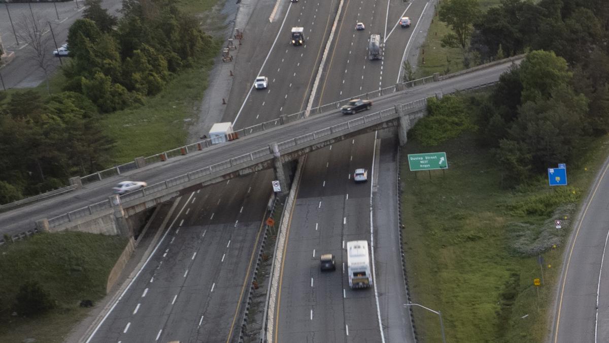
MTO is constructing a new bridge at the crossing of Dunlop Street over Highway 400.

Type: Roads; Stormwater & Creeks; Underground Infrastructure
Status: Substantially Completed
To reconstruct all infrastructure and roadways in Barrie's Queens Park Neighbourhood.

Type: Roads; Stormwater & Creeks; Underground Infrastructure
Status: In Progress
Estimated Completion: Spring 2028
Reconstructing and widening of Yonge Street (Mapleview to Lockhart) to five lanes, a cycle-track and a sidewalk.
Type: Stormwater & Creeks; Underground Infrastructure
Status: In Progress
Estimated Completion: TBD
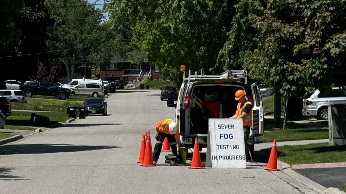
A comprehensive review and analysis of the City's entire wastewater network to investigate and identify likely sources of inflow and infiltration.

Type: Stormwater & Creeks
Status: Substantially Completed
The replacement of two culverts to increase capacity for Sanford Street and Bradford Street culvert crossings and watercourse improvements from Sanford Street to downstream of Bradford Street.

Type: Roads; Stormwater & Creeks; Underground Infrastructure
Status: In Progress
Estimated Completion: Spring 2028
As a key transportation corridor, Mapleview Drive East will undergo several transportation improvements to accommodate the growth of Barrie to 2031.

Type: Stormwater & Creeks
Status: In Progress
Estimated Completion: 2029
Improves conveyance capacity of Whiskey Creek from The Boulevard to Brennan Avenue to reduce frequency of flooding.
Type: Roads; Stormwater & Creeks; Underground Infrastructure
Status: Recently Completed
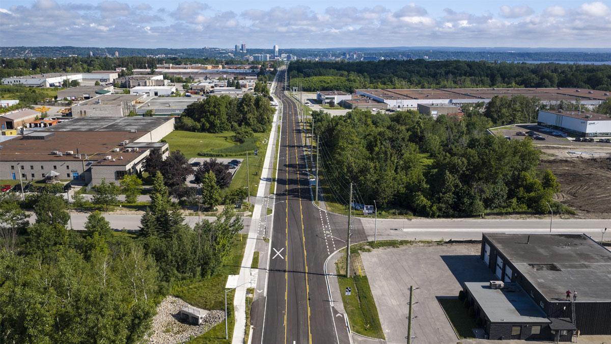
Completed in July 2026. Construction included lane widening, infrastructure replacements, new bike lanes, and a new sidewalk.

Type: Stormwater & Creeks
Status: In Progress
Estimated Completion: 2026
Sites include Kidds Creek at Donald Street and Mapleview Drive East near the Bayview Drive DOLRA.
Type: Stormwater & Creeks
Status: In Progress
Estimated Completion: September 2026
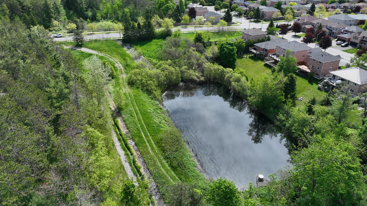
Annual pond sediment removal is required to ensure stormwater management ponds function properly.