
The work of the City's Corporate Asset Management, Development Services, and Infrastructure departments each impact various design and construction projects across Barrie. Corporate Facilities' planning and development staff oversee facility projects that support select City services.
Construction projects may require road closures.
Generally speaking, infrastructure projects are informed by a master plan or planning process, and project cycles may include environmental assessment studies, detailed design, then construction. Projects are ordered below as per the latest update.
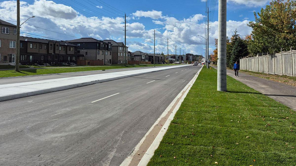
Type: Roads; Stormwater & Creeks; Underground Infrastructure
Status: In Progress
Estimated Completion: Spring 2028
As a key transportation corridor, Mapleview Drive East will undergo several transportation improvements to accommodate the growth of Barrie to 2031.
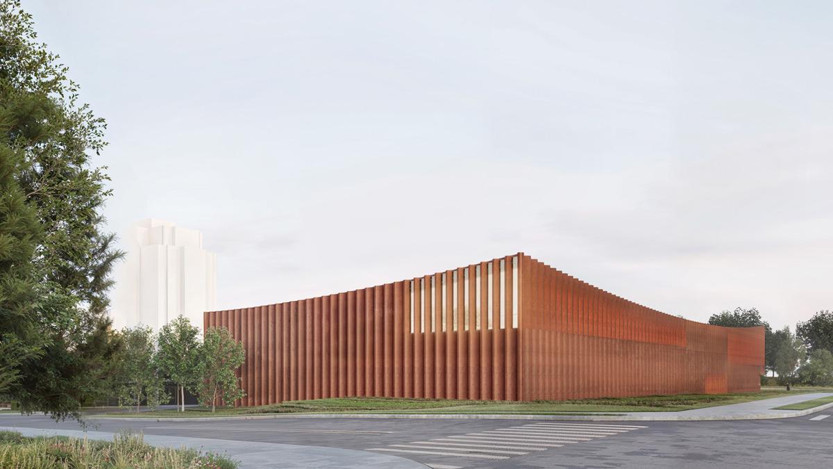
Type: Facilities
Status: In Progress
Estimated Completion: 2028
A new mixed-use facility consisting of administrative, operational, maintenance, and related spaces to support growth and demand to treat wastewater.

Type: Roads
Status: In Progress
Estimated Completion: September 2026
A holding strategy is a reactive approach to pavement management, generally applicable to roads proposed for construction in future years of the Capital Plan.
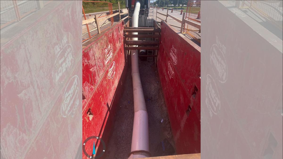
Type: Underground Infrastructure
Status: In Progress
Estimated Completion: Fall 2027
This project involves lining 1,400 metres of an existing 500 mm diameter concrete pressure pipe watermain on Huronia Road between Big Bay Point Road and Little Avenue due to deterioration.

Type: Parks & Forestry
Status: In Progress
Estimated Completion: Fall 2027
Replacement of City trees lost to the ice storm on March 30, 2025.

Type: Roads; Stormwater & Creeks; Underground Infrastructure
Status: In Progress
Estimated Completion: Spring 2028
Reconstructing and widening of Yonge Street (Mapleview to Lockhart) to five lanes, a cycle-track and a sidewalk.
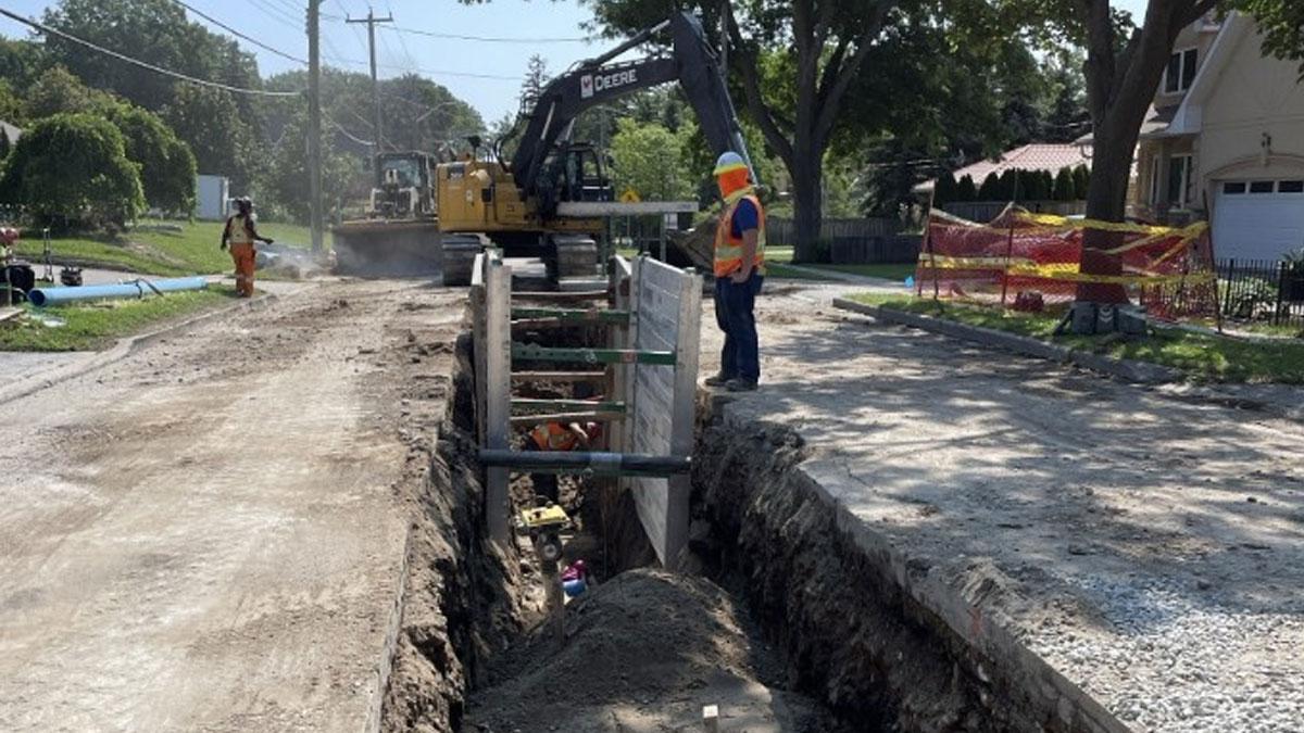
Type: Roads; Underground Infrastructure
Status: In Progress
Estimated Completion: Fall 2026
The annual program includes installing new watermains and lining existing watermains.
Type: Roads; Stormwater & Creeks
Status: In Progress
Estimated Completion: Fall 2028
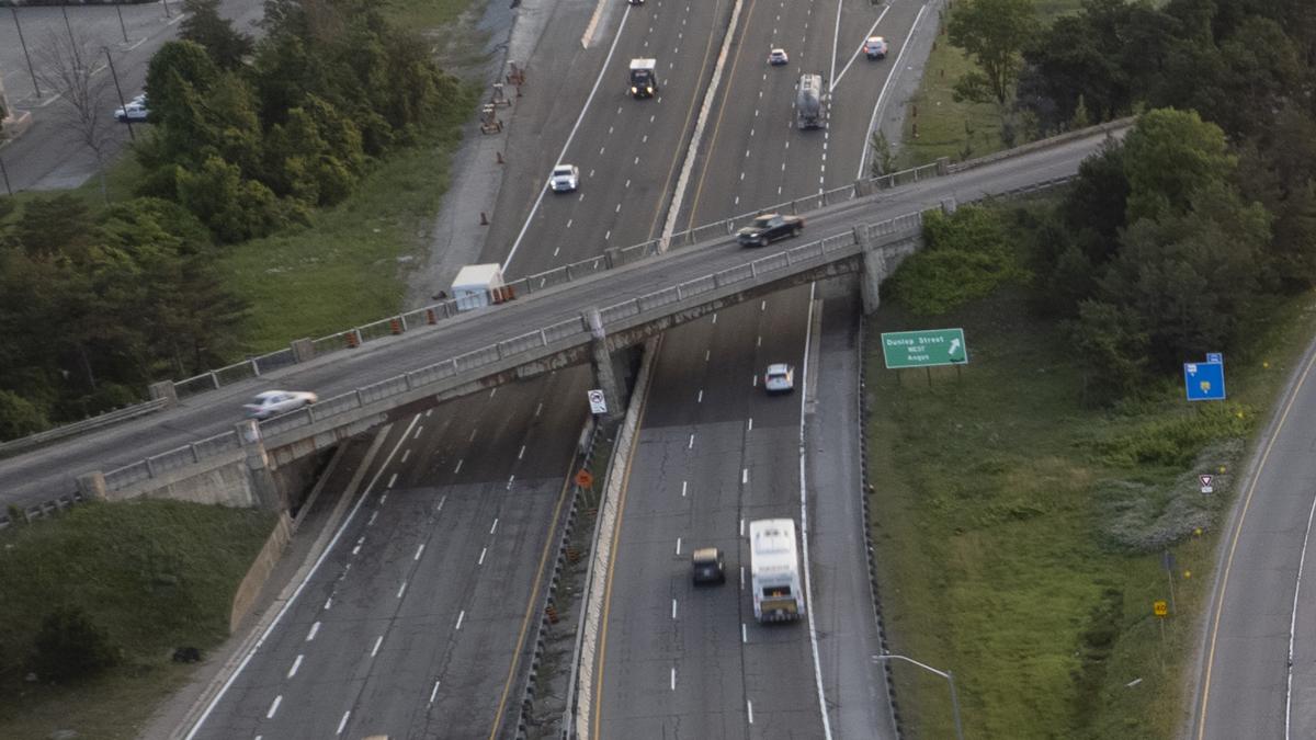
MTO is constructing a new bridge at the crossing of Dunlop Street over Highway 400.
Type: Roads
Status: In Progress
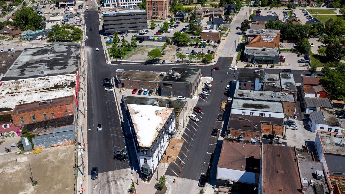
The annual Pavement Management Program includes resurfacing roads, which mainly involves the repair of defects, such as cracks, and rutting found in the top layers of the road.
Type: Roads; Underground Infrastructure
Status: In Progress
Estimated Completion: Spring 2028
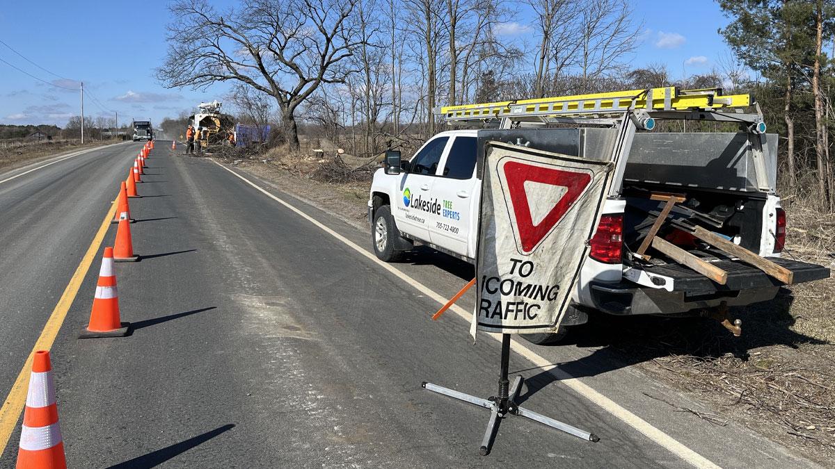
Transportation improvements on Huronia Road between Lockhart Road and the south city limit.